Chad Cook of SRB&A conducting fieldwork in Nuiqsut, Alaska.
Photo Credit – Liz Sears.

SRB&A field crews being dropped off near Toolik Lake in Brooks Range.
Photo Credit - Jake Anders

Shannon Williams, Raena Schraer, and Liz Sears of SRB&A conducting fieldwork in Nuiqsut, Alaska.
Photo Credit – Chad Cook.

SRB&A field crews excavating subsurface tests near Newhalen River
Photo Credit - Randy Tedor

SRB&A field crews excavating subsurface test near Toolik Lake in Brooks Range
Photo Credit - Jake Anders

Paul Lawrence of SRB&A traveling to Aleknagik, Alaska to conduct subsistence mapping fieldwork.
Photo Credit - Alain Beauparlant.

Shannon Williams, Liz Sears, and Raena Schraer of SRB&A preparing to board plane for fieldwork on Alaska’s North Slope.
Photo Credit – Chad Cook.

Paul Lawrence of SRB&A installing a weather station in Wainwright, Alaska to contribute to the understanding of local marine subsistence activities.
Photo Credit – Caleb Billmeier.

SRB&A Archaeologist survey along coastline of Admiralty Island in Southeast Alaska
Photo Credit - Randy Tedor

Paul Lawrence of SRB&A conducting fieldwork in Wales, Alaska, the westernmost point in North America.
Photo Credit - Liz Sears.

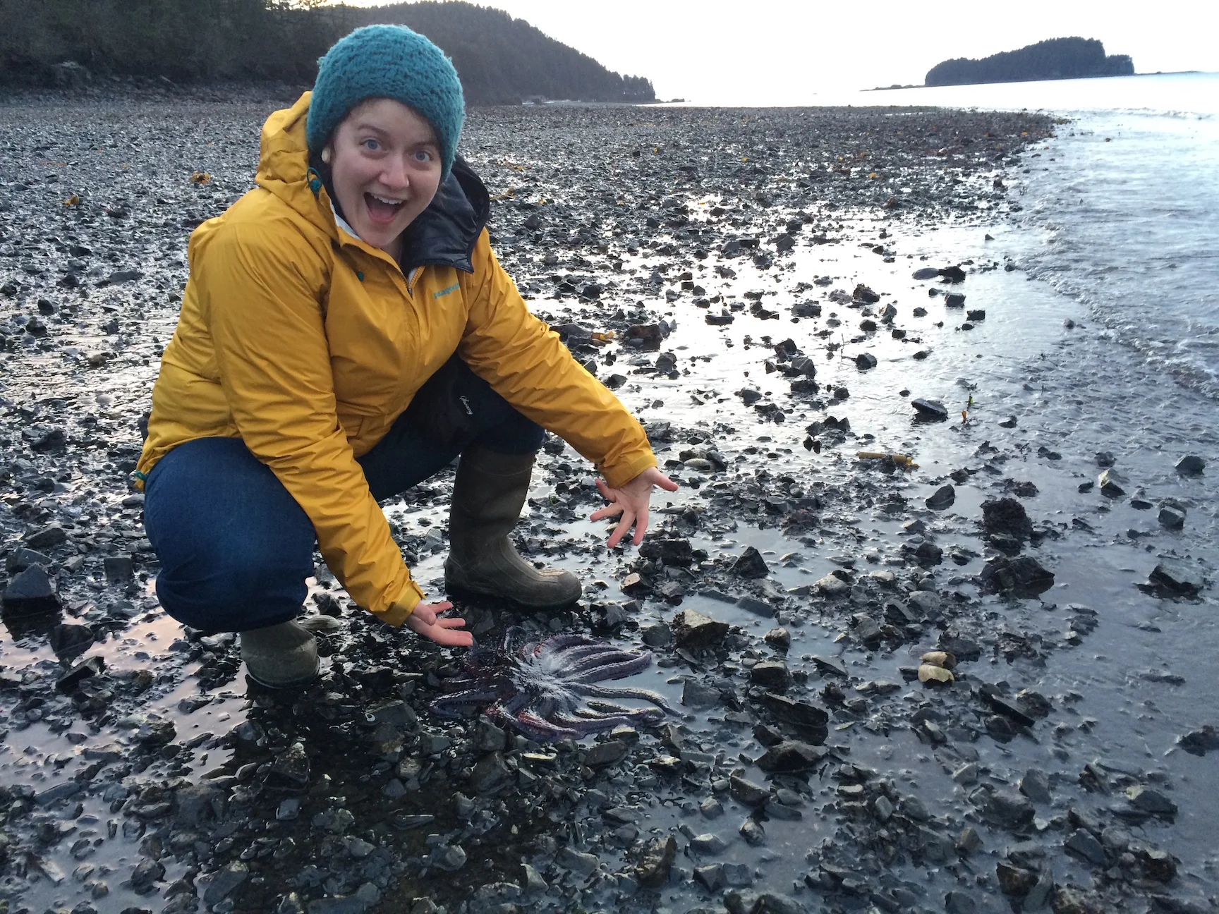
Susan Lukowski of SRB&A exploring the fauna of Port Graham Bay, Alaska.
Photo Credit – Shannon Williams.

Liz Sears of SRB&A crossing the Nenana River to interview residents in Ferry, Alaska.
Photo Credit – Susan Lukowski.

Liz Sears of SRB&A utilizing TerraGo Edge in offline mode on iPad outside of Denali National Park.
Photo Credit – Susan Lukowski.

GIS at SRB&A

SRB&A field crew conducting transect surveys near Iliamna Lake
Photo Credit - Pat Hall

SRB&A crew excavating test unit along Gibraltar River

SRB&A staff at Learn to Return Training

SRB&A field crew conducting transect surveys on Admiralty Island
Photo Credit - Justin Hays


